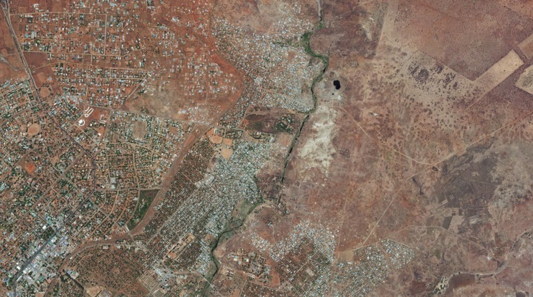
Rural roads in Africa provide mobility to the poorest in society, enabling them to access economic opportunities and essential services such as health and education. A study on rural access estimated that over a billion people living in rural areas do not have reasonable access to an all-season road (World Bank, 2016). Latest data (World Bank Data Catalogue, 2019) indicates that 59% of Africans live in rural areas, with the difference in livelihoods between rural and urban being most pronounced (OECD, 2019). At least 80% of goods and 90% of passengers are transported by road in Africa, and 53% of these roads are unpaved (African Development Bank, 2014). Rural roads can be a great enabler of economic and social transformation and are key to a number of Sustainable Development Goals (SDGs), especially SDG 9.1. (TRL, 2019). Climate change is affecting the resilience of rural roads to resist more frequent and extreme weather events. Low- and Middle-Income Countries (LMICs) are struggling to keep pace with the revised requirements for resilience and in many cases do not have the basic information on their road networks to allow them to make essential decisions.
The aim of this research is to develop an Earth Observation (EO) based system to rapidly assess the condition of unpaved road networks in LMICs and provide an overview of accessibility for improving road asset management. This minimises the time-consuming and logistically difficult process of gathering road condition information locally, whilst enabling efficient interventions where and when needed, hence optimising the use of resources through more efficient maintenance planning and prioritisation. To be attractive to LMIC road authorities the system must be cost-effective. Previous research focused on using very high-resolution satellite imagery to identify road condition on a Good/Fair/Poor/Bad basis by using Machine Learning classifiers and Convolutional Neural Networks. To minimise imagery costs this research is exploring the possibility of using lower resolution imagery to replicate the results, which would save up to 70% of the imagery costs. The project foresees a ground truthing process with local road managers partners, and will be first developed in two trial countries, Malawi and Madagascar, which are two of the countries with the least developed roads. A cost-benefit analysis will be also carried out, ensuring to determine the most appropriate level of accuracy against cost, to the level of accuracy required by road asset managers in LMICs. The project will produce an open GIS plug-in compatible with Road Asset Management Systems (RAMS). Two local key partners support the activity, specifically the Roads Authority in Malawi, and the NGO Lalana in Madagascar whose mission is to promote sustainable development process focusing on road infrastructure and transportation.
This work is a continuation of studies presented at ITS Forum 2022.
See also this 2023 paper in Remote Sensing applied to the same end.
Watch Robin Workman present the results of this project at the ESA URBIS24 conference September 2024:

